
 EN
EN
 ar
ar bg
bg hr
hr cs
cs da
da nl
nl fi
fi fr
fr de
de el
el hi
hi it
it ko
ko no
no pl
pl pt
pt ro
ro ru
ru es
es sv
sv tl
tl iw
iw id
id lv
lv lt
lt sr
sr sk
sk sl
sl uk
uk vi
vi et
et hu
hu th
th tr
tr fa
fa ms
ms hy
hy ka
ka ur
ur bn
bn mn
mn ta
ta kk
kk uz
uz ku
ku
water gauge level
Kingmach water gauge level also cover the JMQJ-62XXADT micro range hydrostatic level sensor, a compact instrument for small vertical deformation where fine reading stability matters more than large travel. The product page lists 50 mm and 100 mm ranges, 0.01 mm resolution, 0.5%FS accuracy, RS485 digital signal, DC 9V to 24V power, power consumption below 0.4W, IP68 protection, about 4.5 kg weight, temperature drift of plus or minus 0.001 mm per degree Celsius, and annual stability of plus or minus 0.1%FS. Typical sites include tunnels, subgrades, dams, bridges, slopes, and building foundations. Because the measuring span is small, installation quality has a strong effect on the usefulness of the readings. The installer should keep the mounting surface firm, shield the cable gland from standing water, protect the pipe connection, and label each sensor before cabinet wiring. Acceptance should include zero confirmation, response comparison between nearby locations, enclosure inspection, and a saved baseline table. For wet galleries, buried sections, or tunnel invert areas, the IP68 enclosure and low power demand help the instrument remain practical when access is limited. This model fits monitoring programs where gradual millimeter-scale movement must be recorded through long wet or buried service conditions.
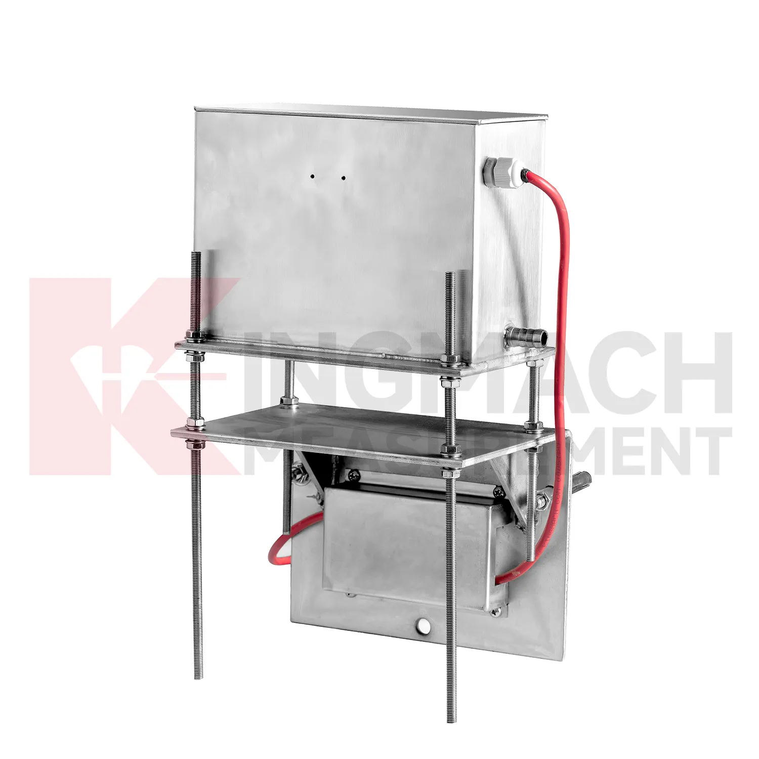
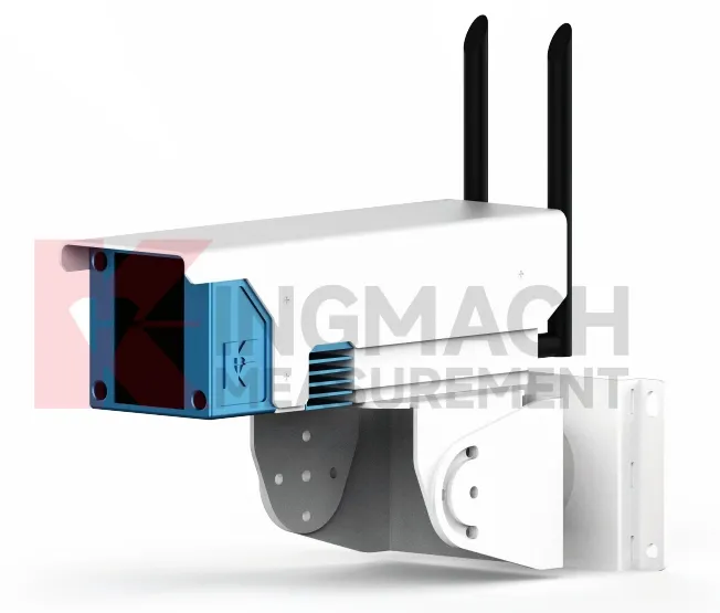
Application of water gauge level
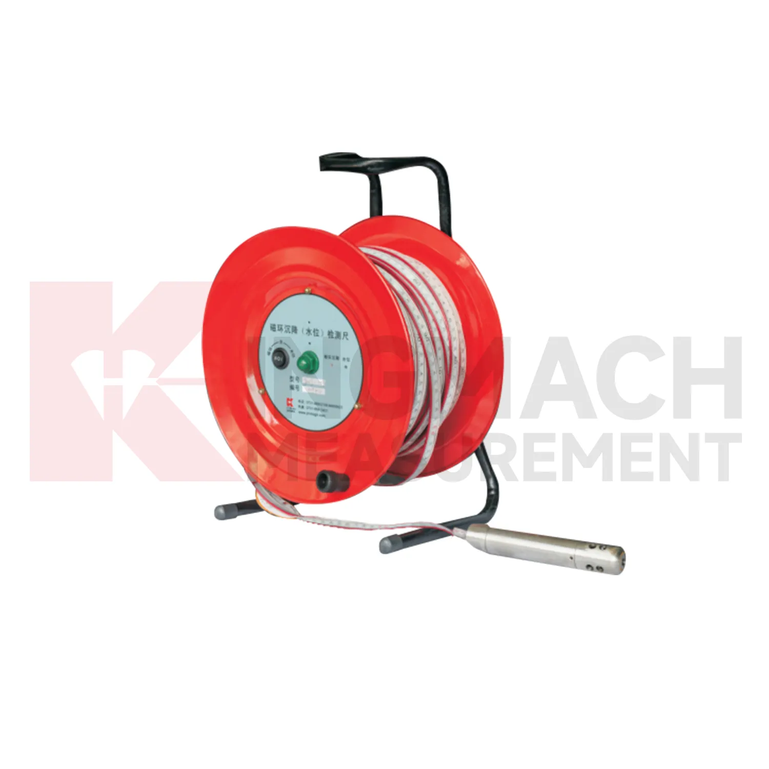
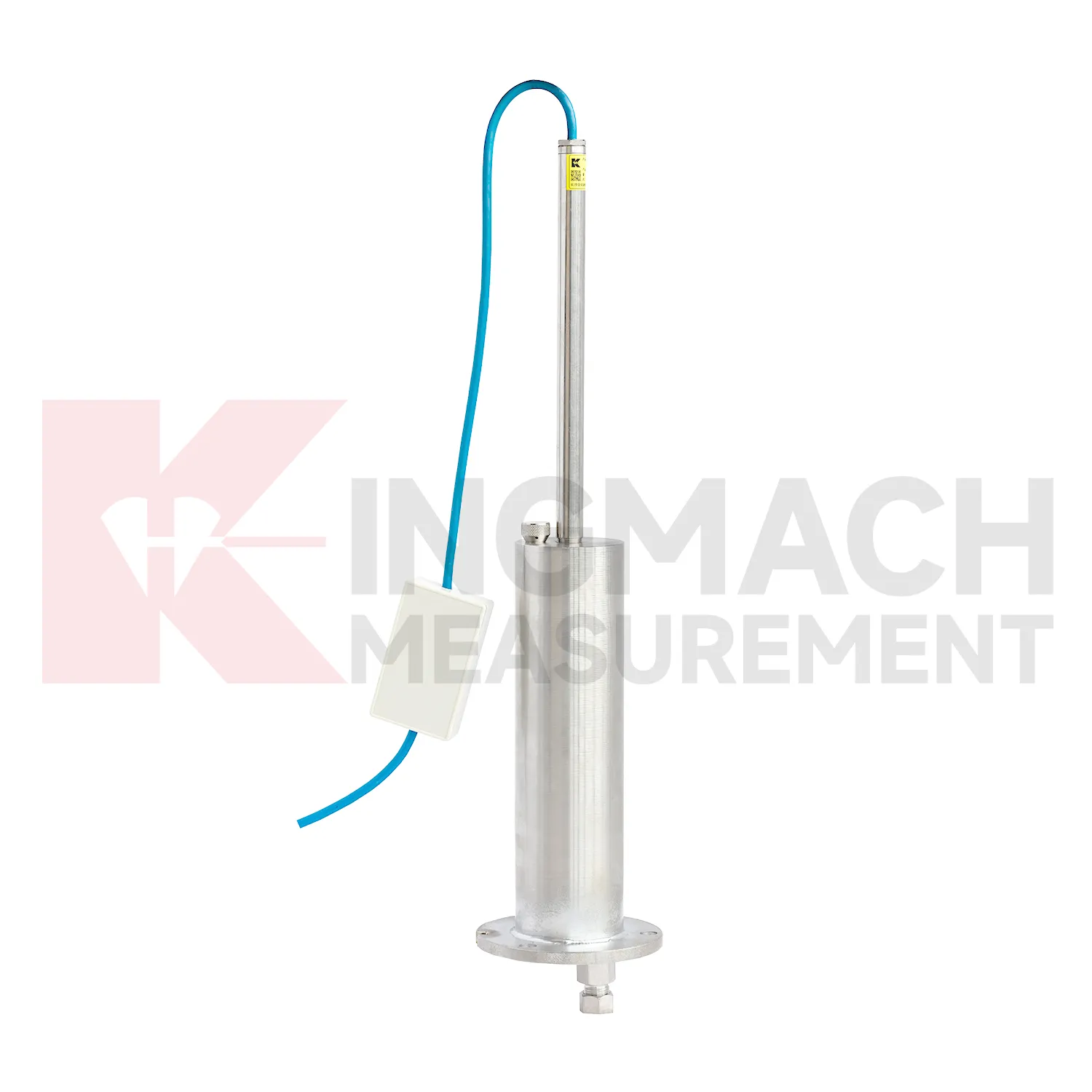
Layered soil, slope, and embankment projects often need water gauge level that can separate underground compression from groundwater variation. Kingmach JMCJ-1003/1005 magnetic ring settlement water level gauge serves that role through a probe, reel, measuring tape, magnetic rings, and water-level detection. Magnetic rings are placed at selected depths, and the probe gives audible and visual indication when it reaches a ring. Water level is detected by conductivity when the probe contacts water. Published options include 30 m, 50 m, and 100 m depths, plus or minus 1 mm accuracy, a 9V battery, and a probe about 17 cm long with 3 cm diameter. This manual instrument is useful when the engineering question is not just total surface settlement, but which soil layer is compressing. Field crews can compare ring depth, groundwater depth, rainfall, fill placement, cracks, retaining wall movement, and excavation activity. The resulting profile helps identify whether deformation is shallow, deep, water-related, or linked to a particular construction stage.
The future of water gauge level
Future water gauge level reports will need to be clearer for both engineers and owners. A useful settlement report should show baseline date, latest value, cumulative settlement, rate of change, reference point status, water level condition, construction stage, and recommended inspection action. It should also include whether the reading was manual, remote, magnetic ring based, hydrostatic, or embedded single-point measurement. Kingmach products generate different kinds of settlement information, so reporting should preserve that context instead of flattening every value into one table. For high-risk projects, trend graphs should sit beside field notes and photos. That makes it easier to decide whether a movement is normal consolidation, reference disturbance, water-related change, or a condition that needs immediate review. The practical goal is to keep settlement data understandable after the original installation crew has left, so owners can compare old and new readings without reconstructing the field history from memory. The same record should remain readable for designers, contractors, owners, and maintenance teams, because settlement monitoring often continues long after the first construction report is finished.
Care & Maintenance of water gauge level
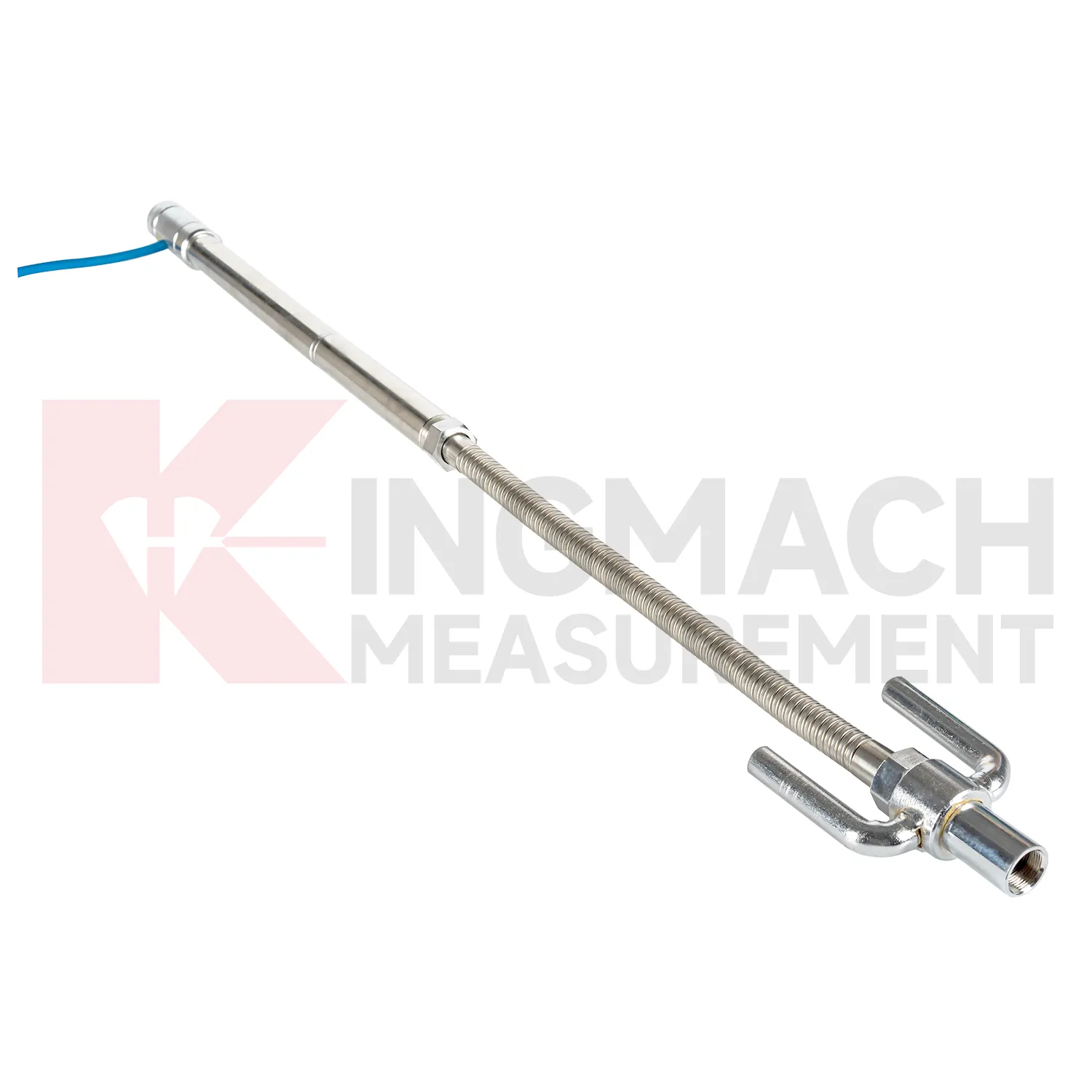
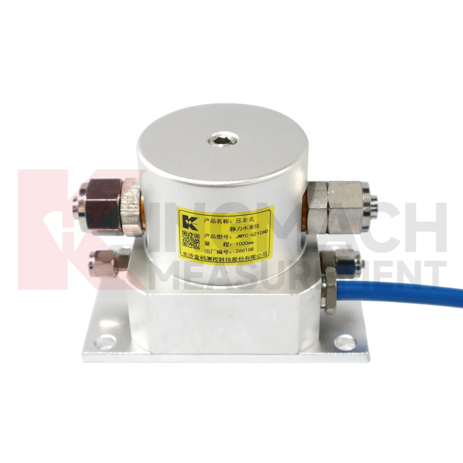
Care and maintenance of water gauge level should begin before the first sensor is installed. Confirm whether the location needs an embedded single-point gauge, a hydrostatic leveling sensor, a wide-range differential pressure system, or a magnetic ring settlement water level gauge. Kingmach JMDL-47XXAT covers 100 mm to 400 mm embedded ranges, while JMYC-62XXAD covers larger 500 mm to 4000 mm hydrostatic ranges. Choosing the wrong range can shorten the useful life of the point or hide small early movement. The project file should record model, range, structure name, point elevation, expected movement direction, reference point, cable or tube route, and first stable value. During later checks, compare actual movement with the construction stage and nearby instruments. If a value approaches the end of travel, plan verification before the sensor saturates. Range management is maintenance because it protects the continuity of the settlement record.
Kingmach water gauge level
For procurement and technical selection, water gauge level should be matched to expected movement scale, access, and monitoring method. A micro range hydrostatic sensor with 0.01 mm resolution is not the same tool as a wide-range differential pressure sensor covering up to 4000 mm, and neither replaces a magnetic ring gauge used for borehole layer readings. Kingmach's category includes JMDL-47XXAT, JMDL-62XXADT, JMQJ-62XXADT, JMYC-62XXAD, and JMCJ-1003/1005, each aimed at a different settlement task. Before ordering, engineers should define whether the point is embedded, connected by water tube, manually probed, remotely acquired, or compared with a reference sensor. The best specification starts with the field question, then selects the instrument. Procurement teams should therefore ask not only for range and accuracy, but also for installation method, reading method, protection level, and data handover format. Procurement teams should therefore ask not only for range and accuracy, but also for installation method, reading method, protection level, and data handover format.
FAQ
Q: How should water gauge level be maintained?
A: Check reference points, tubes, cables, seals, settlement plates, anchors, probes, cabinets, and channel names at planned intervals.
Q: Should zero values be reset casually?
A: No. A reset can hide real settlement. If a reset is necessary, record the reason, time, old baseline, and new baseline.
Q: What data should be reviewed with settlement?
A: Rainfall, groundwater, excavation depth, filling stage, traffic loading, tilt, displacement, strain, and load data can all help explain settlement changes.
Q: What signs suggest a data issue?
A: Flat lines, sudden jumps after maintenance, impossible values, repeated communication gaps, or disagreement with nearby points may indicate instrument or data-chain problems.
Q: What makes a settlement report useful?
A: A useful report includes point location, model, range, baseline, reference point, latest reading, cumulative settlement, rate of change, and field notes.
Reviews
Joshua Clark
We ordered a full monitoring solution including sensors and data loggers. Everything works seamlessly together. Great supplier!
James Thompson
The tiltmeters and accelerometers are very sensitive and provide precise data. Perfect for our structural health monitoring system.
Latest Inquiries
To protect the privacy of our buyers, only public service email domains like Gmail, Yahoo, and MSN will be displayed. Additionally, only a limited portion of the inquiry content will be shown.
Ava***@gmail.comAustralia
Hi, I am looking for reliable tiltmeters and accelerometers for structural health monitoring. Please...
Evelyn***@gmail.comSouth Africa
Hi, we are a contractor working on tunnel construction and need settlement sensors and displacement ...
Related product categories
- water level gauge
- water gauge water level gauge
- water gauge level
- gauge water level
- Magnetic Ring Settlement Water Level Gauge
- Optical Deflection Monitor
- Tilt Sensor
- Deflectometer
- Micro Range Hydrostatic Level Sensor
- Single-point Settlement Meter
- Optical Deflection Monitor
- Inclinometer-based Hydrostatic Leveling System